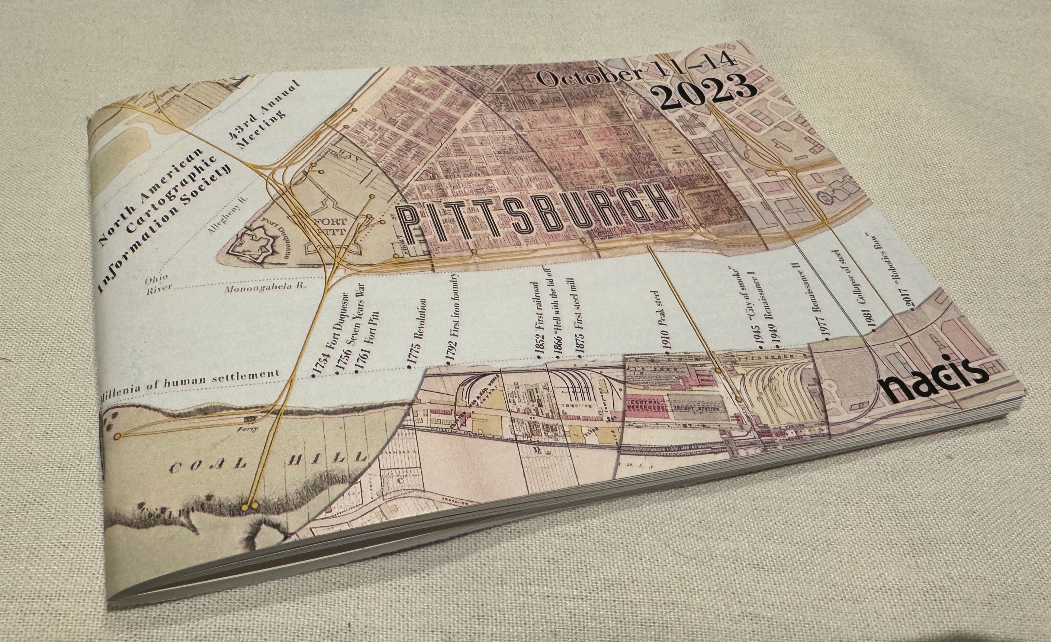
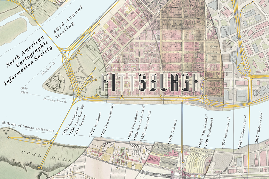
Through the Fire is a postcard-size view into the history of Pittsburgh, created for the NACIS conference program. With an abundance of detail and few words, it elicits more questions than it answers. It’s an invitation for attendees to dig deeper.
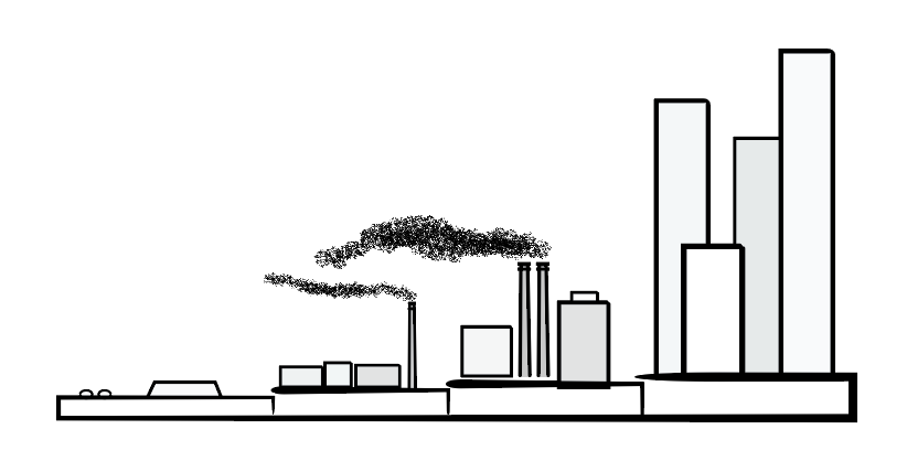
Beginning at the confluence of the Allegheny and Monongahela rivers, the map spreads outward through time in concentric circles, from European colonization, to American Revolution and the discovery of coal. It hints that as the city grew into the steel capital of the world, its natural landscape was devastated. Then as its industrial engine faltered, large-scale urban renewal methods were used to try to clean it up. Today, the city continues to redefine and rediscover itself.
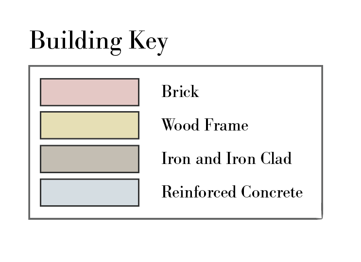
Hints of these transitions can be seen in the density of rail, building footprints, and the type of building material used.
Cartographer’s Notes
I love making small maps, and really had to challenge myself to pull this idea together. There is so much detail in the sources that it became more of an exercise in taking away than adding.
I chose the orientation and scale to allow NACIS attendees to hold the map in their hand, look out over “the Mon” river from Station Square, and imagine what’s under the edges of the city. To get a small sense of just how much this place and its people have been through.
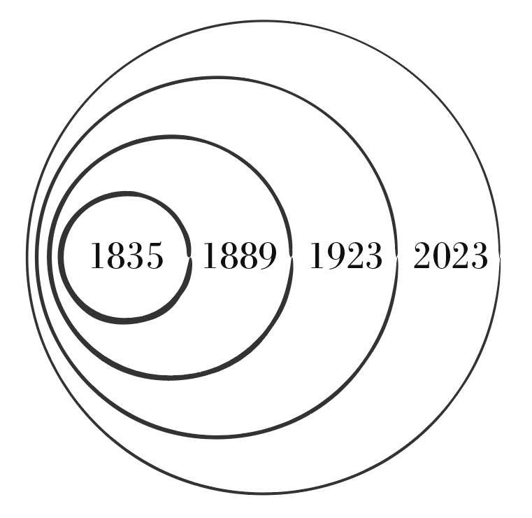
The concept of layers of time isn’t new, but the addition of concentric circles, like the rings of a tree, was a new revelation to me.
Map Sources
This work builds upon the work of others. Historical maps were sourced online from Historic Pittsburgh and ESRI to represent each of the first 3 segments. In order as they appear from left to right
- Map of Pittsburgh 1835 prepared by Lewis Keyon
- Map of Pittsburgh 1889 by Sanborn and GM Hopkins
- Map of Pittsburgh 1923 by Sanborn and GM Hopkins.
- The modern day map and elements unifying all 4 time periods were created using data from OpenStreetMap contributors. https://openstreetmap.org/copyright.
Articles and Archives
- Major events in Pittsburgh
- Urban Renewal: The Rebirth of Pittsburgh’s Strip District
- A Very Short History of Pittsburgh
- Pittsburgh coal seam - Wikipedia
- A Pair of Pittsburgh Renaissances
- A Journey into Pittsburgh’s Early Years
- Pittsburghpedia: The Making of Robotics Row
- Mount Washington - Pittsburgh Wikipedia
Disclaimers
The original historical maps were modified in the making of this new map, mostly in the removal or moving of labels and elements to simplify the overall map. It was created for the enjoyment of the conference attendees and not as an accurate representation of the area.